Description
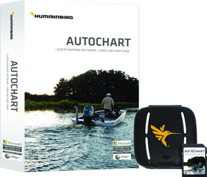
Humminbird AutoChart for North America uses proprietary software that takes your Humminbirds sonar recordings and GPS to build custom lake charts. Create your own contour map on any lake in 3 simple steps: 1) Record sonar data after inserting a blank SD card into your Humminbird Combo. 2) Import your recordings into the AutoChart PC program and convert your survey into a lake map. 3) Export your map onto the Zero Lines Map Card (included) to display on any compatible Humminbird. Included with the AutoChart PC software is a 32 GB map card loaded with Zero Lines for millions of water bodies in North America. With these all-important Zero Lines as your foundation, you can begin creating your own, accurate and detailed maps of any fishing spot, even where contour coverage doesnt exist. Humminbird AutoChart enables you to use Minn Kota i-Pilot Link on previously unmapped bodies of water after you create contours with the revolutionary AutoChart PC Software.
Depth Highlight (Depth Highlight Range)
Water Level Offset
Shallow Water Highlight
Mark, Import, and Export waypoints
i-Pilot Link functionality
Additional information
| Brand | Humminbird |
|---|

Reviews
There are no reviews yet.